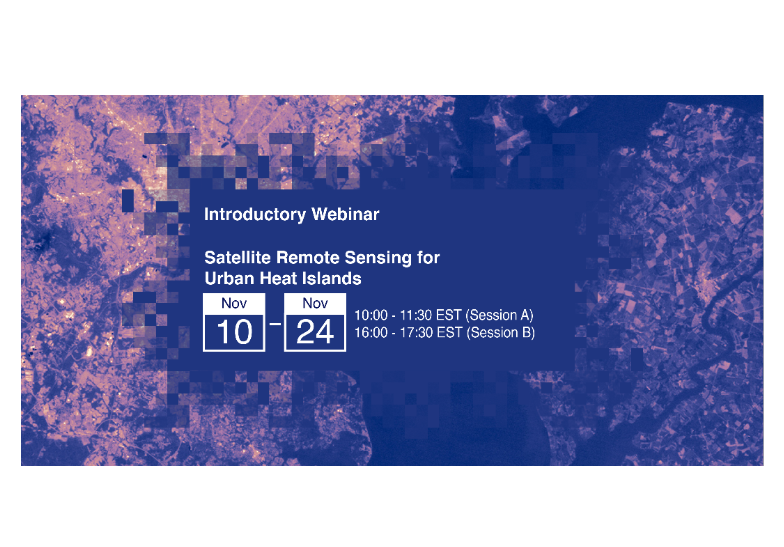
NASA’s Applied Remote Sensing Training Program (ARSET) has opened registration for a new open, online webinar series: Satellite Remote Sensing for Urban Heat Islands. This 3-part series (November 10, 17, and 24) addresses the use of remote sensing in determining where "hot spots" of land surface temperature are located in urban areas, why these areas are experiencing increased temperature, which populations are most vulnerable, and ways to mitigate the effects through adaptive land use planning.
Event description based directly on source announcement.
PAST EVENT
Satellite remote sensing for urban heat islands
Main Organiser
NASA’s Applied Remote Sensing Training Program
Conference Resources
Downloads
Website References
Other Events
 View all Events
Sign up to Alerts
Sign up NOW!Copyright © 2026 uKESA