
Log in

Create a user profile using your existing professional profile on LinkedIn, Academia, or ResearchGate.


Alternatively, register a username and password to start an account.


By creating an account you will be able to contribute articles, engage in discussion groups, network with fellow professionals and businesses, and receive interest-related alerts.

Forgot Password

Please enter your email address below and you will receive a temporary link to re-activate your account

We mapped green spaces in South Africa and found a legacy of apartheid
Article image

Zander Venter

29 July 2020

The Conversation Africa

English

Media article

Africa

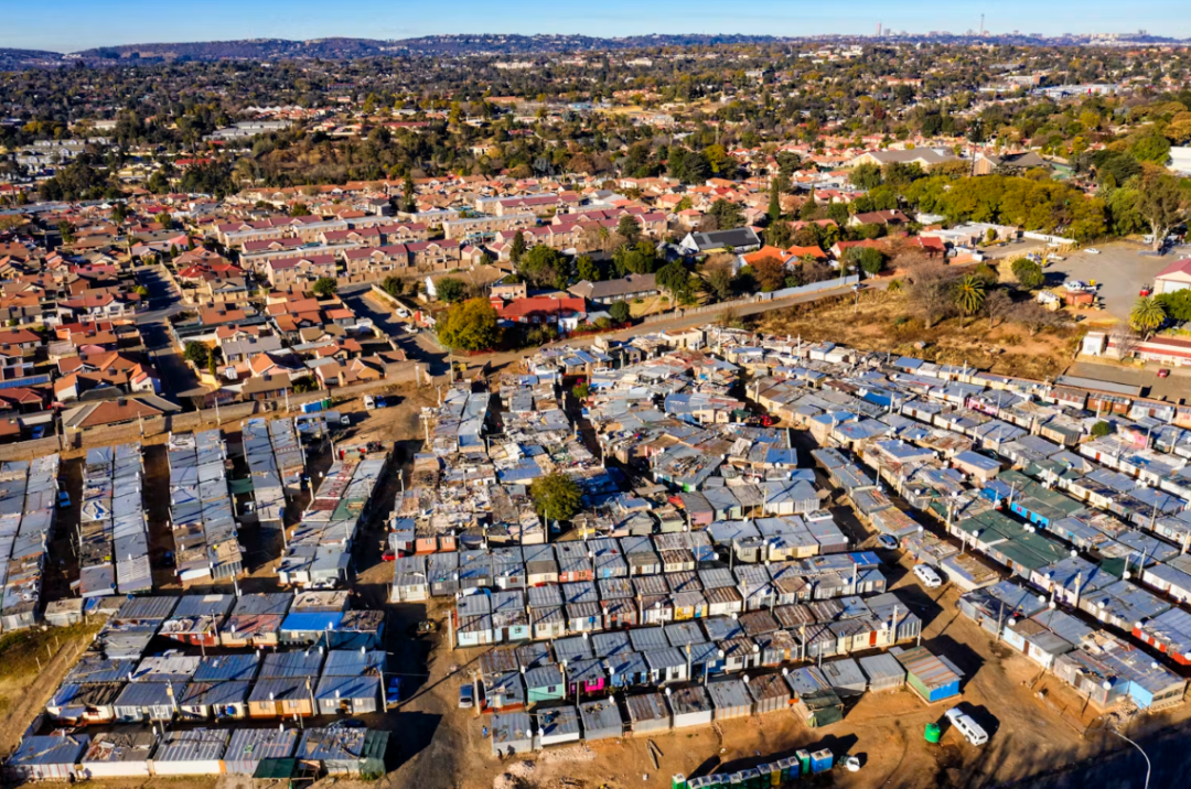
This article maps and assesses the distribution of urban green spaces across South African cities, revealing that the legacy of apartheid continues to influence access to trees, parks, and vegetation. Using satellite imagery and census data, the authors found that predominantly white and higher-income neighbourhoods generally have greater access to green infrastructure than predominantly Black, Coloured, and Indian communities. The study further argues that these spatial inequalities have changed little since 1994 and highlights the importance of urban green spaces for public health, social well-being, climate resilience, and environmental justice, calling for urban greening to be integrated into broader efforts to address inequality and promote sustainable human settlements in South Africa.


Abstarct based on original source.

Apartheid

Built environment

Climate Change/Resilience

Environmental impact

Governance

Green infrastructure

Health

Human settlements

Inequality

Infrastructure

Livelihoods

Policy

Poverty & inequality

South Africa

Spatial analysis

Spatial development

Spatial justice

Spatial transformation

Sustainability

Urban

Urban design

Urban development

View Contributors:

Comments

No comments available
LOAD MORE